Location Data
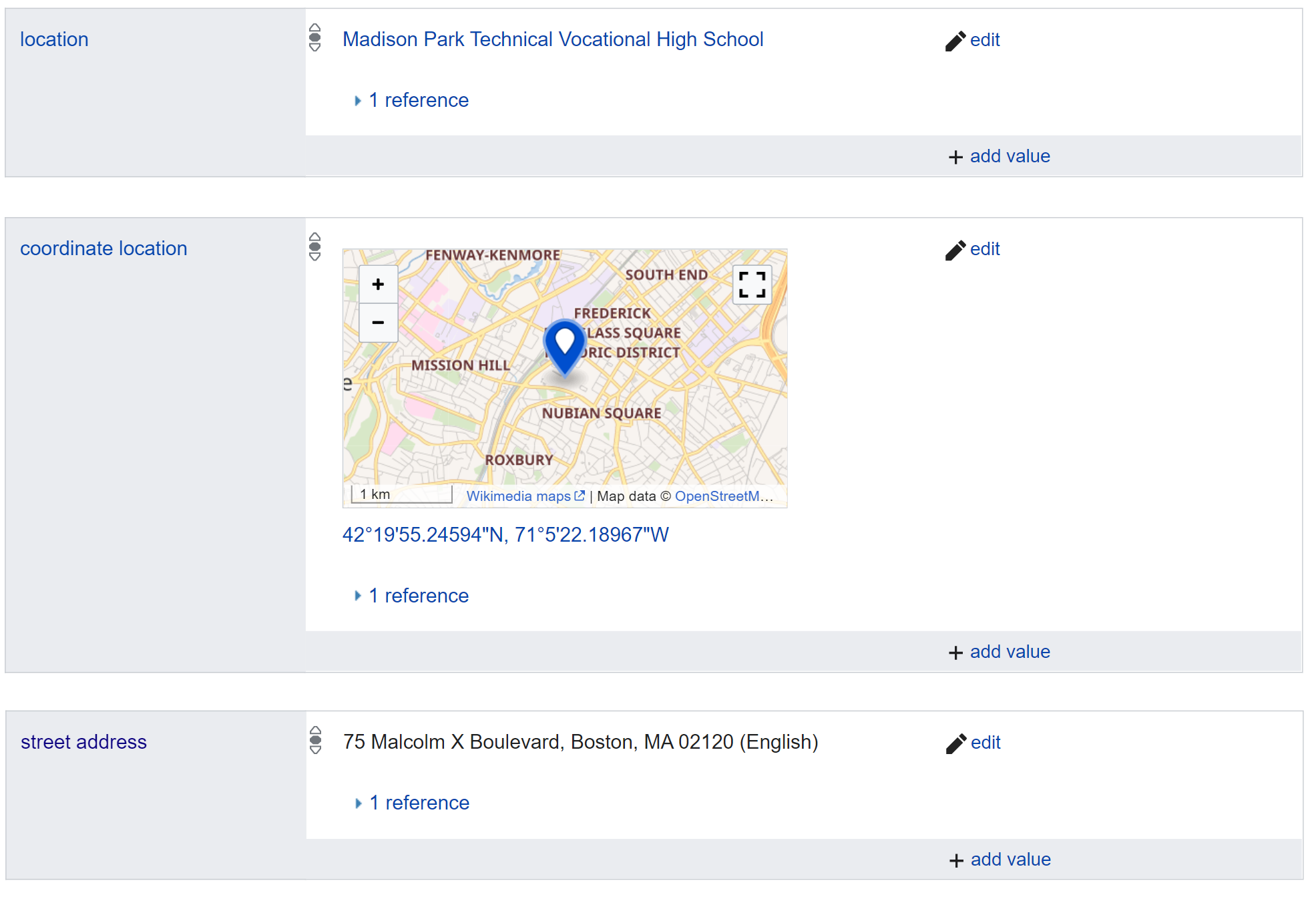
Many of the listed works of art were missing street addresses and/or geographic coordinates. In general, an entry’s associated location is assumed to be the place where it was observed at some point in time. For most artworks, especially older ones, we did not confirm whether they still exist at their associated locations. Ayah Aboelela, a Northeastern University Master’s student in World History and Boston Research Center (BRC) Research Associate, used various tools to find and/or confirm the street address and/or coordinates of entries that were missing such fields. She then added them to the Neighborhood Public Art WikiProject.
The following lists the various categories of artwork in terms of their existing or missing location data, as well as the methods used to collect such data.

- The street address was listed, but not the coordinates
- In this case, Ayah searched the street address on Google Maps and explored the area via Google Street View to find the artwork. References for the Wikidata Item would be used to confirm what the artwork looks like. If a reference did not provide an image, distinguishing features of the artwork, once found, would be relied upon (for example, artist’s signature, title of the artwork, what the artwork depicts, etc.). Sometimes, if the artwork was not found using the current Street View, Google’s back-in-time feature was used to explore footage of an area from a few years in the past until the artwork is found. Ayah then added the coordinates associated with that location to the Wikidata Item entry for the artwork. However, if the artwork could not be found using Google Street View, the coordinates associated with the pre-listed street address would be added. This means that they denote the latitude and longitude nearest to the artwork’s street address, and not necessarily precisely where the artwork would appear.
- For example, most (if not all) murals located “Underground at Ink Block” in the South End only have the coordinates associated with the street address. These murals are underneath the highway and hard to locate remotely. Moreover, they are newly painted (within the past couple of years) and Google Street View footage was taken earlier.
- This process would take between 5-15 minutes per artwork, depending on how easily found the artwork is using Google Street View.
- Neither the street address nor the coordinate location was listed
- In this case, Ayah used the references listed in other statements of the Wikidata Item page to find if they list a street address. If they did not have the address listed, or if they were not accessible, Google was used to search for the artwork in the hopes that a web article contained information on an address. Once an address was found, it would be added with its associated reference to the Wikidata Item page. Ayah would then continue to find the most precise coordinate possible as outlined in the previous case. For some entries, if a source for the address or coordinates could not be found, the location statements were left blank.
- This case took the longest amount of time, reaching a maximum of 20-25 minutes per artwork as many sources or links were reviewed which might mention the artwork to see if a street address could be found.
- Both street address and coordinate location was listed
- In this case, the street address would be compared with the coordinates on Google Maps. Sometimes, they were the exact same place–meaning that the coordinates were probably added due to their association with the street address. Using Google Street View, Ayah would confirm if the coordinates truly indicate the location of the artwork. If the artwork existed at another, more precise, set of coordinates, the entry would be updated in order to reflect the more precise values. However, if the artwork was not found at the listed set of coordinates, then no changes were made to the listed coordinates, assuming that the artwork existed there or near there at some point in time or another. We may assume this means that the artwork was either relocated, no longer existing, or newer (and so it doesn’t show up on Google Maps footage which may have been taken before the artwork was placed).
- This would usually take 5-10 minutes per artwork.
- The street address was not listed, but the coordinates were
- This was a rare case; it was much more likely for a street address to be identified and listed prior to the artwork’s coordinates. This happens for artwork that is at an intersection or sidewalk but not associated with a building or park that has an address–for example, the Roxbury Parting Stone and Crisscross Signal Spire. For these, the address that was closest to the listed coordinates was added to the entry. This was usually the name of a street, without a number associating it to a particular building.
Reference Data
